
Hermiston Gait, Newbridge, Livingston and Bathgate
Requests around Junctions 1–4A, including the A720 Edinburgh City Bypass, M9 connection, Livingston, Bathgate, Whitburn and Heartlands.
Quote in less than 5 minutesAnswer basic questions in around 2 minutes. Our team replies after you submit your request.Start the quote chat
Broken down on the M8? Request car recovery, van recovery, motorbike recovery, accident recovery or vehicle towing near Edinburgh, Newbridge, Livingston, Bathgate, Harthill, Eurocentral, Glasgow, Paisley, Glasgow Airport, Bishopton and Langbank. Tell us whether you are eastbound or westbound, where the vehicle needs to go and how it can be loaded. If you do not know the junction or postcode, the quote assistant can add your phone’s exact Google Maps location.
Keep your hazard lights on, stay belted if you cannot safely leave the vehicle and call 999 immediately. Arrange private recovery only after police or traffic officers have made the scene safe.
One dedicated east–west motorway page
The M8 crosses Scotland’s Central Belt from Junction 1 at Hermiston Gait beside the A720 Edinburgh City Bypass to Junction 31 at Langbank. After Junction 31 the road continues west toward Port Glasgow and Greenock as the A8, not the M8. Recovery is arranged from the exact pickup position, destination, vehicle condition and equipment needed—without pretending one local postcode covers the whole route.
Requests around Junctions 1–4A, including the A720 Edinburgh City Bypass, M9 connection, Livingston, Bathgate, Whitburn and Heartlands.
Recovery requests around Junctions 5–22, including Newhouse, the M73, M80, Glasgow city junctions, Kingston Bridge, the M74 and M77 connections.
Requests around Junctions 23–31, including the Clyde Tunnel, Hillington, Renfrew, the A737, Bishopton and the M898 connection for the Erskine Bridge.
M8 at a glance
Official-source figures with their location and year. Traffic varies along the road.
Traffic figures describe a named section in both directions, not unique vehicles using the entire motorway or a live count for today. Mapped lengths can include branches and differ from a single end-to-end journey. Read the route and data notes · Recovery price guide
Quote in less than 5 minutes
Chat with our quote assistant. It takes around 2 minutes to answer a few basic questions. Our team will contact you with a quote in less than 5 minutes after you submit your request.
Share your location and vehicle details. Our recovery team confirms your price and estimated arrival time before booking.
Answer a few basic questions in around 2 minutes. Our team will contact you with a quote in less than 5 minutes after receiving your request.
Loading your quote assistant… If it does not appear, please refresh this page.
Junction-by-junction coverage
Recovery requests near Hermiston Gait, the A720 and A71, Newbridge and the M9 connection, then Livingston and Bathgate. Send the direction shown on the signs as well as the nearest junction.
Coverage around Whitburn, Heartlands, Heart of Scotland services, Harthill, Shotts, Newhouse and Chapelhall. If you are at services, include the car-park position and eastbound or westbound side.
Requests around Eurocentral, Coatbridge and Bellshill access, the A725 and A8 approaches, the M73 connection at Baillieston and Junction 10 at Easterhouse.
Recovery near Cranhill, Riddrie and Provan, including the M80 connection at Junction 13. Closely spaced slips mean an exact map pin and direction are particularly useful.
Requests around Townhead, Woodside, Great Western Road, Charing Cross, Anderston and the Kingston Bridge. Some city-centre entries and exits are direction-specific, so send the nearest sign rather than guessing.
Coverage around south and south-west Glasgow, the M74 and M77 connections, Ibrox, Govan, the A739 Clyde Tunnel corridor and Braehead access.
Recovery near Hillington, Renfrew, Glasgow Airport, Paisley and the A737 corridor. Airport-related requests still need the precise road or car-park location—not only “Glasgow Airport”.
Requests around Bishopton, the M898 and A898 link for the Erskine Bridge, West Ferry and Langbank. At Junction 31 the motorway ends and the road continues west as the A8.
Safe M8 location details
The Heart of Scotland service area at Harthill, between Junctions 4A and 5, is the M8’s on-motorway service area. If you are parked there, send the service-area name, eastbound or westbound side and a clear description of your position in the car park. Glasgow Airport, Paisley and other sites reached from a junction are not motorway service areas, so share the exact road or map pin.
If the vehicle can safely leave the carriageway, stop as far left as possible, use hazard lights and get behind a barrier when it is safe. Do not walk beside live traffic to look for an address and never place a warning triangle on a high-speed road. Call 999 if you are stranded in a live lane or in immediate danger.
For official instructions, read the Traffic Scotland motorway breakdown guidance and the Highway Code rules for motorway breakdowns. You can also check live M8 traffic and incidents or view Traffic Scotland cameras before a journey.
Central Glasgow has closely spaced and direction-specific junctions. From a safe place, send eastbound or westbound, the nearest readable road sign or junction, any safely visible landmark and your phone’s map pin. This is more reliable than guessing a postcode.
Recovery matched to your vehicle
Searching for M8 recovery near you does not require a local postcode. Share your map pin, direction and nearest junction if known so Motorway Response can check suitable recovery availability along the route. Vehicle size, wheel damage, loading condition and destination are confirmed before a price and ETA are provided.
Flatbed transport after a mechanical fault, warning light, overheating problem, clutch or gearbox issue, battery problem or another failure that makes the car unsafe to drive.
Provide the van make, model, body length, approximate load and running condition. SWB, MWB and LWB vans can require different payload capacity and loading equipment.
Motorcycles and scooters need secure wheel support and suitable restraint points. Share the bike model, damage, key availability and exact pickup position before dispatch.
Tell us if the vehicle is electric or hybrid, whether it selects neutral and whether any wheels are locked. This helps check a suitable flatbed and loading method.
A damaged tyre, alloy, suspension component or locked wheel may prevent normal loading. Photos can help identify whether skates, winching equipment or another method is required.
Accident-damaged vehicles can be considered once the scene is safe. If the vehicle does not drive, the assistant asks whether it rolls, selects neutral and releases the handbrake.
From request to M8 recovery
Send direction, junction, services, a nearby road sign or a map pin from a safe place.
Tell us its type, loading condition, wheel damage and whether it drives.
Suitable availability is checked before the recovery price and estimated arrival time are confirmed.
The assigned operator receives the pickup and destination details required for attendance.
Clear information before dispatch
Motorway Response checks suitable operator availability and confirms the quoted price and estimated arrival time before dispatch. No payment is taken through the quote chat.
The route from your exact M8 position to the requested garage, home, storage site or other safe destination is the main part of the journey calculation.
Cars, motorbikes, SUVs and vans need different capacity. Locked wheels, steering damage, low ground clearance and accident damage may require extra loading equipment.
A service area or safe off-motorway pickup is different from an exposed roadside position. A live-lane incident must first be handled by the emergency services.
Congestion, closures, weather, time of day and the live position of an appropriate recovery truck can change the estimated arrival time.
Genuine recovery photographs
These 10 original photographs show cars, SUVs and vans prepared for flatbed transport. They demonstrate the vehicle types and loading details considered when arranging M8 motorway recovery; they are not presented as recoveries completed on the M8.
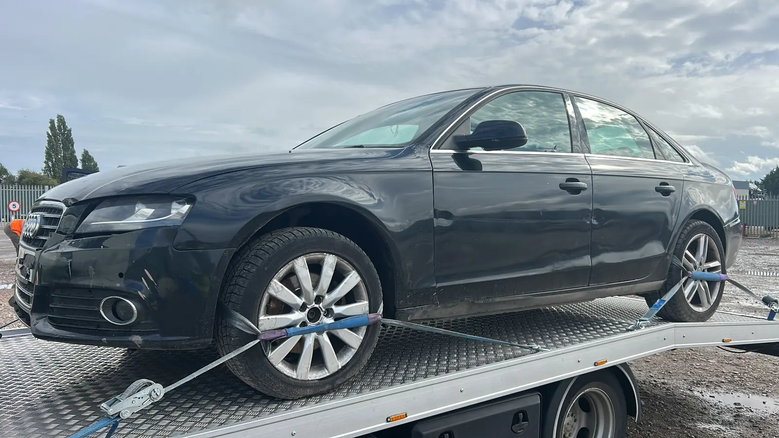
This Audi A4 is secured on a flatbed with visible front-end damage. Wheel condition, steering and loading access are checked before suitable M8 recovery equipment is arranged.
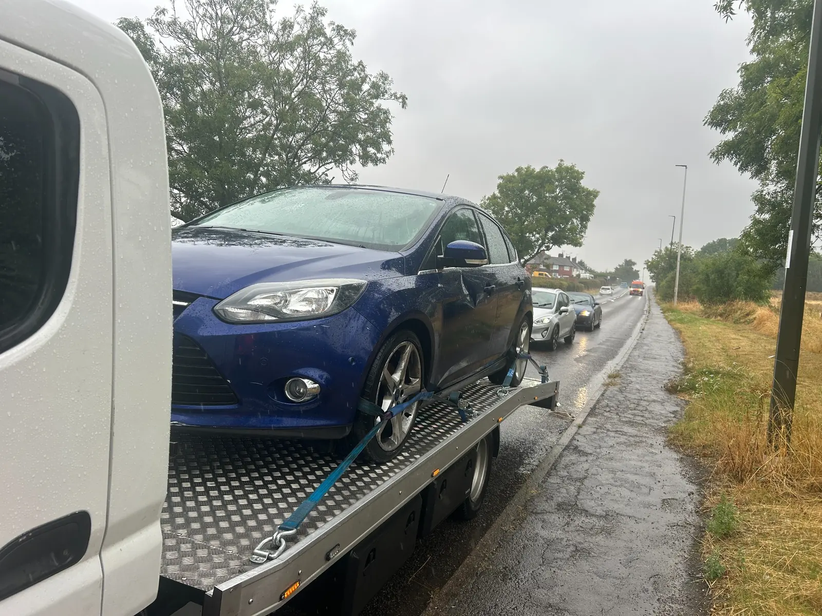
This Ford Focus is secured beside a rain-soaked road. Accurate M8 location details and a safe stopping place are important before a flatbed is dispatched.
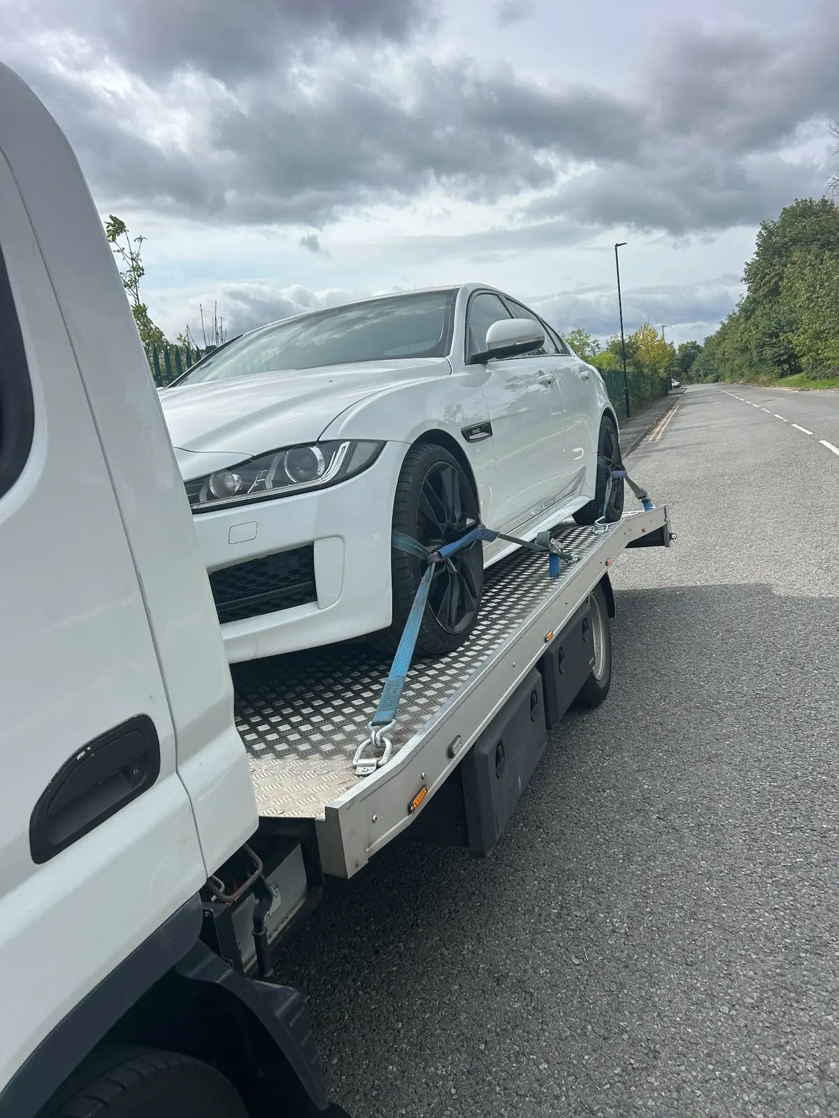
Low-profile saloons need careful ramp alignment and clear loading information so an appropriate M8 recovery truck can be selected.
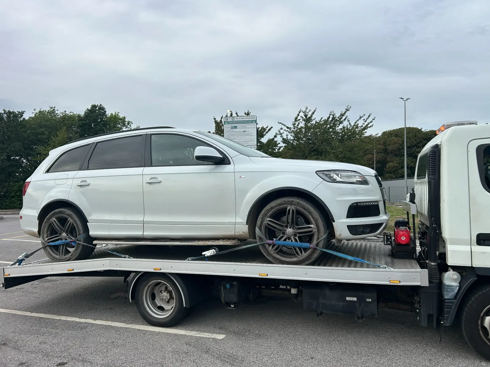
Larger SUV recovery requests require the vehicle size, wheel condition and running status to be checked before M8 dispatch.
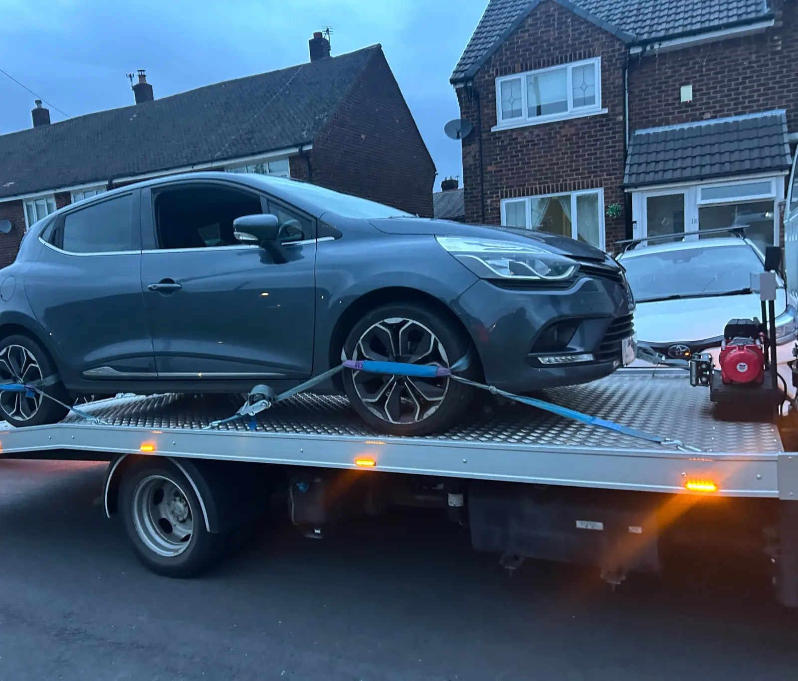
Evening M8 requests still need the exact pickup point, destination and vehicle condition before a price and estimated arrival time can be confirmed.
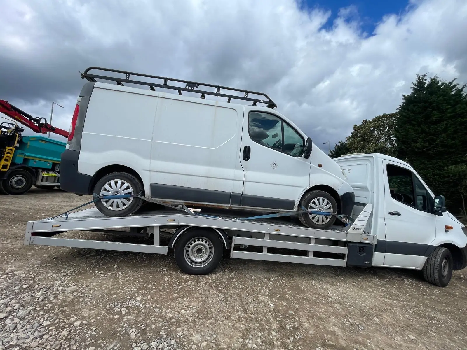
Van recovery is assessed using body length, load, vehicle weight and whether the van rolls safely for flatbed loading.
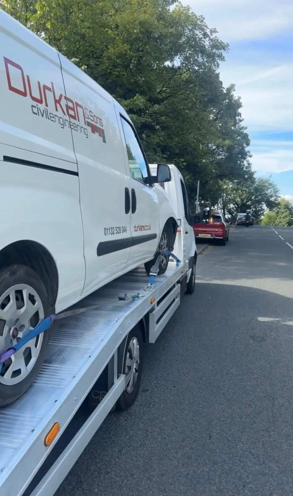
Sharing the van make, model, load status and wheel condition helps identify suitable M8 recovery equipment before dispatch.
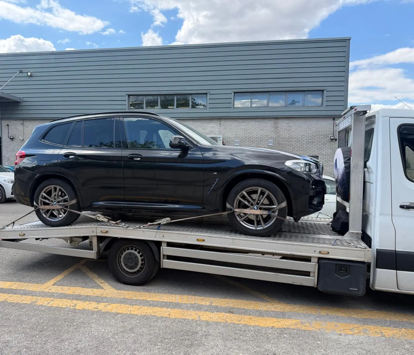
For SUV recovery, wheel restraint, vehicle dimensions and safe access all form part of the loading assessment.
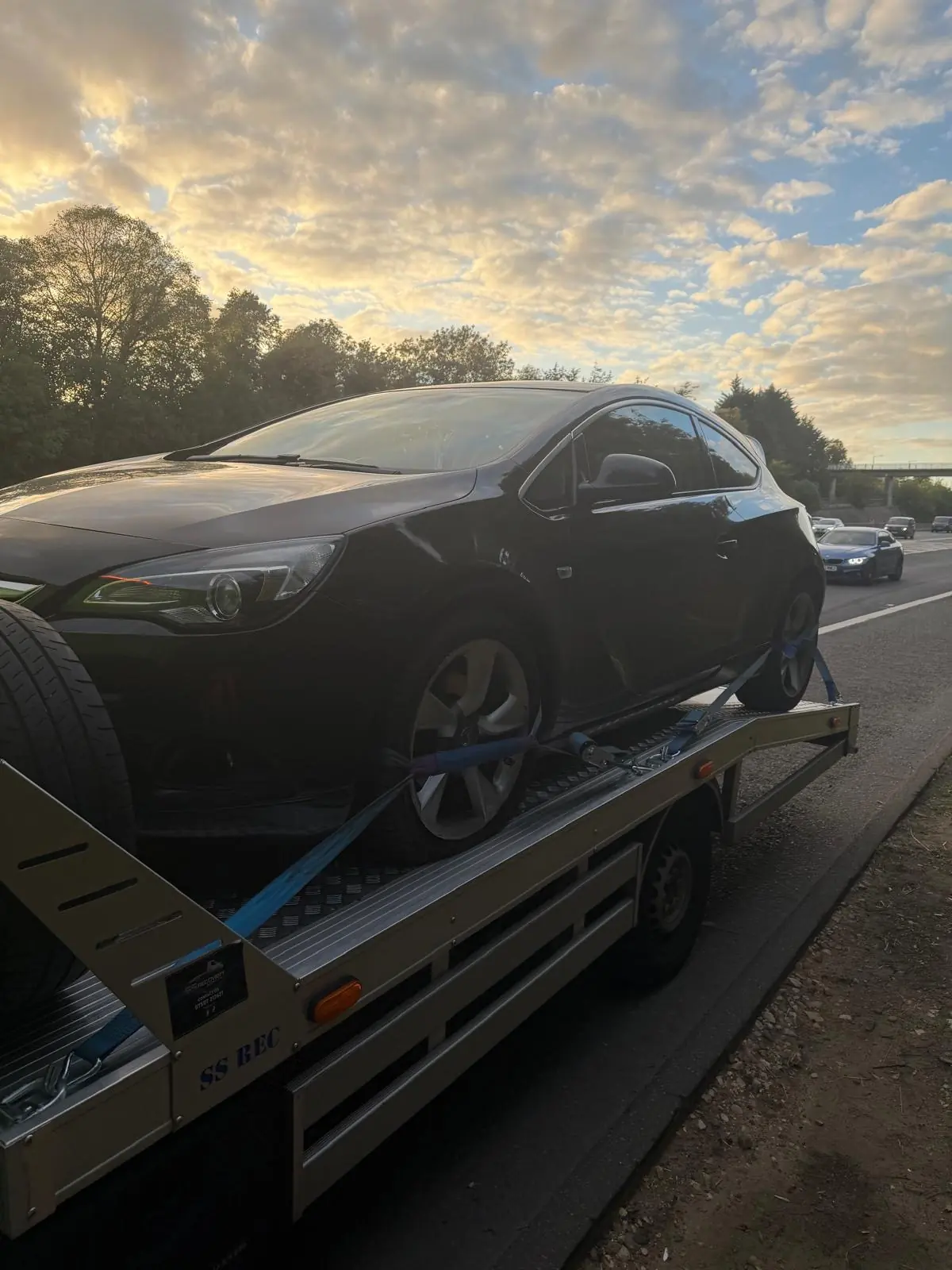
Roadside recovery is quoted after checking traffic-side safety, the precise M8 location and whether the car can roll and steer.
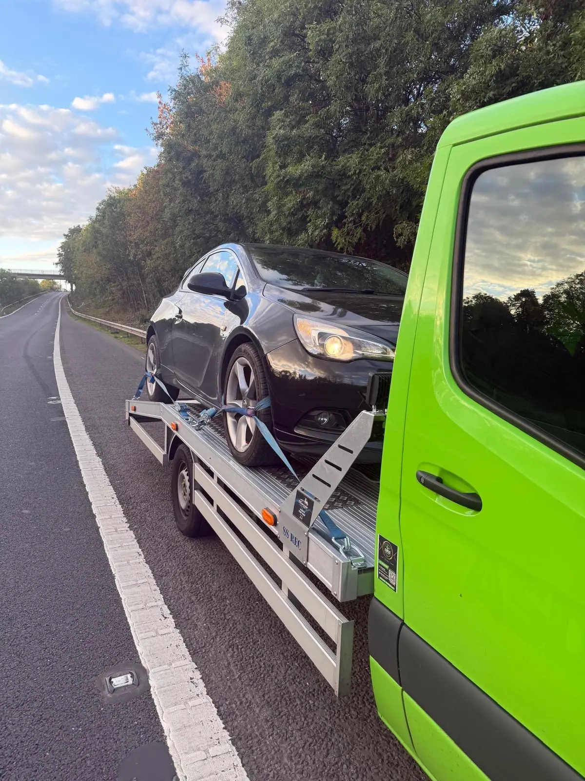
If a vehicle stops beside the M8, Motorway Response first needs confirmation that it is away from a live lane and safe for private recovery.
All 10 photographs are genuine examples of recent Motorway Response flatbed transport work. Equipment and truck type depend on the vehicle, access, wheel condition and operator availability.
M8 recovery questions
You can submit a request for a safe location from Hermiston Gait in Edinburgh through Livingston, Harthill, Glasgow and Paisley to Langbank. Attendance depends on your exact position, vehicle and suitable operator availability.
The M8 runs west from Junction 1 at Hermiston Gait by the A720 Edinburgh City Bypass to Junction 31 at Langbank. The route continues toward Greenock as the A8 rather than the M8.
Send eastbound or westbound, nearest junction or services, exact pickup position, destination, vehicle details, wheel condition and whether the vehicle drives for loading.
From a safe place, tap Get my current location in the quote assistant and allow location access. A Google Maps pin will be added to the request. If known, also select eastbound or westbound and provide the nearest junction, services or emergency-area number.
Choose eastbound when travelling toward Edinburgh and westbound when travelling toward Glasgow, Paisley or Langbank. If signs and traffic layout make this unclear, select Unsure and share your map pin.
Heart of Scotland services at Harthill are between Junctions 4A and 5. If parked there, send the service-area name, direction and your position in the car park.
Often yes, but explain the damage before dispatch. Photos may be requested so suitable skates, winching equipment or another recovery method can be checked.
Yes, once the vehicle is in a safe position. Central Glasgow junctions are closely spaced and some movements are direction-specific, so share eastbound or westbound, the nearest sign or junction and your exact location pin.
Keep your hazards on, remain belted if you cannot safely leave the vehicle, call 999 and ask for the police. Do not wait in a live lane for private recovery.
Explore dedicated motorway pages
Each route page contains its own junction, direction, service-area and recovery guidance. Use the page that matches the motorway shown on your road signs.
Safe and ready to request help?
A closer look at M8
The M8 route serves the Edinburgh, Livingston, Glasgow, Paisley, Langbank corridor in Scotland. Central Glasgow has closely spaced motorway connections. Your exact M8 carriageway and nearest signed exit matter more than the name of the city. A route page identifies the road to request; the precise collection still depends on the direction, actual carriageway and stopping position. A services name should include the side of the motorway, while a slip-road pickup needs its own location.
For car recovery, van recovery, SUV transport or motorcycle collection, send your current map pin from a place of relative safety if you can. Add the nearest junction or a driver location sign only when it is already visible. Do not walk along the motorway to find a postcode, inspect the vehicle or get a better photograph. A town beyond the next exit can help describe the journey, but it does not identify your pickup carriageway.
The cited source gives approximately 108.6 km (67.5 miles). Approximate mapped motorway network in DfT 2025 data. This is a mapped-network link total, including any branches, spurs or slip roads recorded under this road number; it is not an exact end-to-end driving distance. The all-direction AADF dataset has one record per link and year; opposite directions have not been added as separate lengths.
Sum of link_length_km once per unique motorway count_point_id for 2025; TM and PM categories only. A recovery journey also includes the approach to the correct carriageway and the onward delivery route, so the motorway’s length is not the mileage automatically used for your quote.
At junction 4 to junction 3a, the official 2025 annual average daily flow is 66,519 motor vehicles across both directions. Of these, 45,201 are cars and taxis. The record is labelled Counted, count point 80500.
Annual average daily flow at this named count point, all directions combined, for 2025. This is not a live count, a count of unique cars across the whole motorway, or the number using the entire route in a particular 24 hours. Cars and taxis are a subset of all motor vehicles; flows from different count points have not been added together. DfT individual-link estimates are less robust than regional and national totals; the estimation method is shown. It should not be added to figures from other points to estimate unique motorway users: the same vehicle may pass several counters. Traffic volume alone also cannot predict your recovery truck’s arrival time. Understand daily traffic counts and road lengths.
Tell the team the make and model, transmission type, whether it runs and drives for loading, and whether any wheels are damaged, missing or locked. Known details about rolling, neutral and handbrake release help assess a non-runner. Do not test these beside traffic. A loaded van, large 4×4, low car or vehicle after a collision can need a different truck and securing method from a freely rolling small car.
Share the full destination address or postcode, passenger count and any known access restrictions. Recovery to a local garage and long-distance vehicle transport are different journeys. Suitable equipment, safe access, passenger space and available operators are checked before booking. Any change to your location, damage or destination should be reported before dispatch.
Vehicle, route and equipment
A M8 car recovery quote near Edinburgh starts with the exact stopping point, destination and vehicle condition. The following overlapping examples explain our indicative pricing. They are not a fixed tariff, an all-inclusive package or a promise that every job will fall within the range.
| Indicative band | Example work assessed | What can change the quote |
|---|---|---|
| £120–£220 | Straightforward short-distance car collection from a safe, accessible pickup | Actual route, call-out timing, access and vehicle loading |
| £220–£350 | Longer car transport or a larger vehicle on an agreed route | Distance, weight, onward destination and operator availability |
| £350–£450 | Some van or SUV recoveries, or jobs needing additional loading equipment | Van size and load, locked wheels, ground clearance and damage |
| £450–£550 | Some longer-distance recoveries or more demanding transport arrangements | Overall journey, specialist handling and safe scene access |
These are examples rather than strict vehicle categories. A small car on a long route can cost more than a nearby SUV. Long-distance, heavy, complex, accident or specialist jobs can exceed £550. Tell us about a loaded van, trailer, missing keys, locked wheels or passengers before booking. The team confirms the actual price, scope and estimated arrival time before dispatch.
Police-arranged or statutory removal, storage, road-operator arrangements and any separately agreed charges are different from this private quote guide. Existing breakdown cover may also change who you should contact. Read the complete motorway recovery price guide or request a personal quote.
Route facts and practical help
Our indicative private recovery examples run from £120 to £550, depending on the actual route, vehicle size and condition, access and loading equipment. These are not fixed prices or a maximum; long-distance or specialist work can cost more. Your price and arrival estimate are confirmed before dispatch.
At junction 4 to junction 3a, the official 2025 annual average daily flow is 66,519 motor vehicles across both directions. Of these, 45,201 are cars and taxis. The record is labelled Counted, count point 80500. The figure is not a total of unique vehicles using the whole motorway or today’s live flow.
Do not attempt a wheel change or other DIY repair beside motorway traffic. If you cannot reach safety or leave safely, keep your belt and hazards on and call 999 for the police. From a place of relative safety, contact the road operator or a recovery company and follow their instructions.
Practical recovery advice
Understand indicative motorway recovery prices from £120 to £550, what changes a towing quote, and how cars, vans, distance and loading affect the cost.
Read the guide ↗Motorway recovery guideUnderstand the Highway Code advice on hard-shoulder car repairs, the legal stopping rules, and when to contact police, the road operator or recovery.
Read the guide ↗Motorway recovery guideFlat tyre or blowout on a motorway? Read safe stopping advice, when to call 999, why to avoid a DIY wheel change and what to tell a recovery company.
Read the guide ↗Road facts & trafficUnderstand UK motorway daily traffic figures, cars and taxis, count locations and mapped road lengths. Read official-data notes before planning a recovery.
Read the guide ↗